Maps of 18th Century America

A new and accurate map of the English empire in North America; Representing their rightful claim as confirmed by charters and the formal surrender of their Indian friends; likewise the encroachments of the French, with the several forts they have unjustly erected therein. Society of Anti-Gallicans. Sold by Wm. Herbert & Robt. Sayer, London, 1755. Hand colored. Relief shown pictorially. Maps in margin: A plan of the harbor and town of Louisbourg on the isle of Cape Briton.--A plan of Chebucto Harbor.--The Atlantic Ocean.--Fort Frederick built by the French at Crown or Scalp Point in the year 1731.--A plan of Port Dauphin on the isle of Cape Briton.--A plan of the harbour of Annopolis Royal.--A plan of the town of Quebeck. DIGITAL ID: g3300 ar006200 URL: http://hdl.loc.gov/loc.gmd/g3300.ar006200 SOURCE: Library of Congress Geography and Map Division Washington, D.C.
1755 Canada and b - c - d - e - f - g


Plan of Fort William Henry and camp at Lake George, 1755, drawn by William Eyre, engineer, and Joseph Heath, pen-and-ink and watercolor. DIGITAL ID: g3804l ar112100 URL: http://hdl.loc.gov/loc.gmd/g3804l.ar112100 SOURCE: Library of Congress Geography and Map Division Washington, D.C.
1755 Fort Wiliam Henry and bg - h


A Plan of Albany, as it was in the year 1758, pen-and-ink and watercolor. Oriented with north to the right. DIGITAL ID: g3804a ar112900 URL: http://hdl.loc.gov/loc.gmd/g3804a.ar112900 SOURCE: Library of Congress Geography and Map Division Washington, D.C.
1758 Albany and bg - mid - cu - h


Plan of a rout undertaken in winter, Jany. 26th, from Quebec, the capital of Canada, to the frontier settlements of the Township of Topsham near Brunswick Fort on the River Ammerascaegun in the Province of New Hampshire, Feby. 20th 1760. By John Montresor, sub. engr. & lieut. (1736-1799). Manuscript; pen-and-ink and watercolor. Oriented with north to the right. Relief shown pictorially. DIGITAL ID: g3734t ar080800 URL: http://hdl.loc.gov/loc.gmd/g3734t.ar080800 SOURCE: Library of Congress Geography and Map Division Washington, D.C
1760 Topsham and bg left - bg mid - bg right - b and bg - c and bg - d and bg


"The Province of New Jersey, divided into East and West, commonly called the Jerseys. Shows county boundaries and Division line run in 1743 between East New Jersey and West New Jersey. This map has been drawn from the survey made in 1769 by Bernard Ratzer and from another large survey of the northern parts by Gerard Banker. Includes table of "Astronomical observations." Engraved & published by Wm. Faden, London 1777. DIGITAL ID: g3810 ct000079 URL: http://hdl.loc.gov/loc.gmd/g3810.ct000079 SOURCE: Library of Congress Geography and Map Division Washington, D.C.
1769 New Jersey and bg - top and toph and top bg - bott and botth and bott bg - c and ch - h


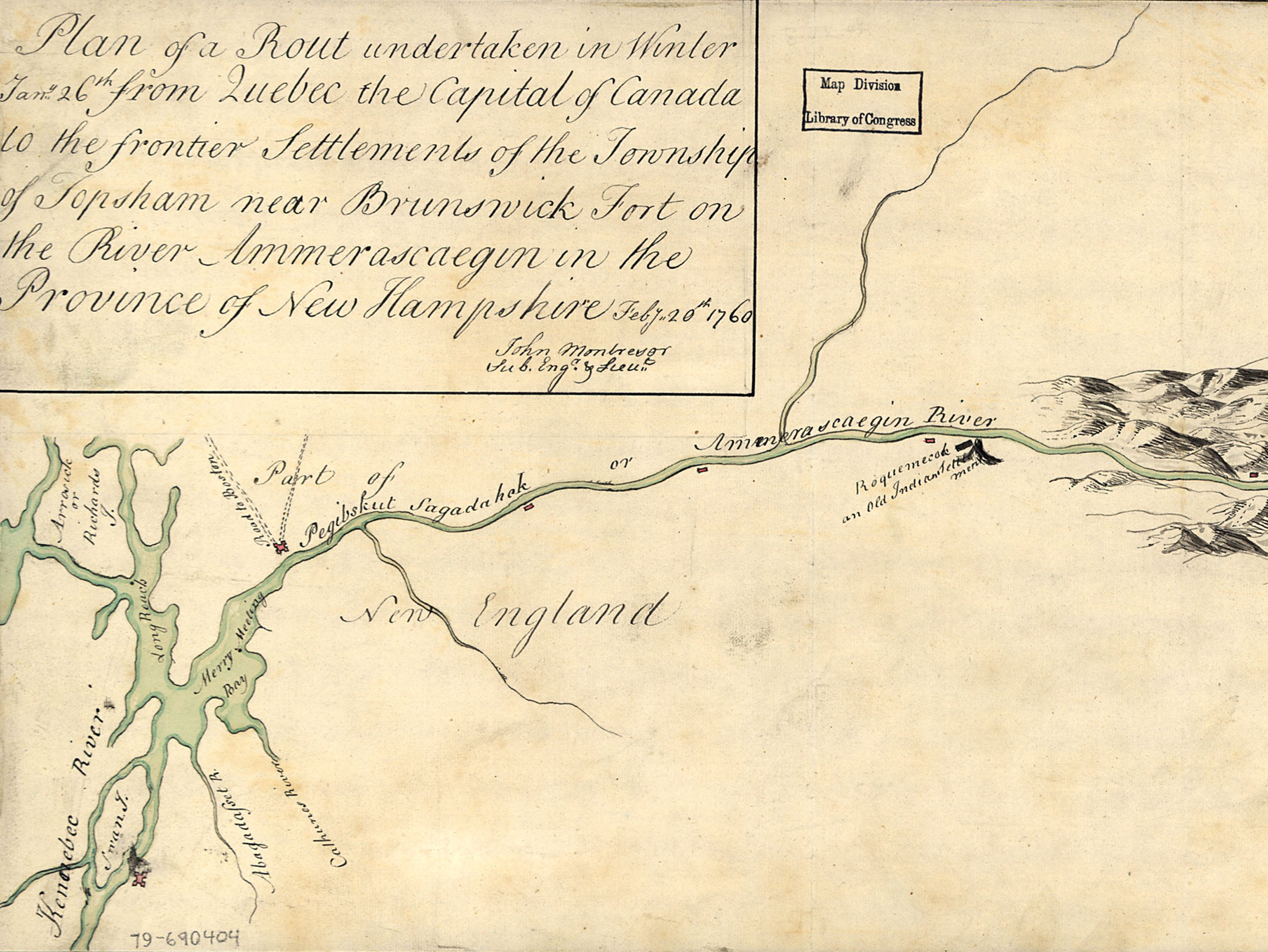
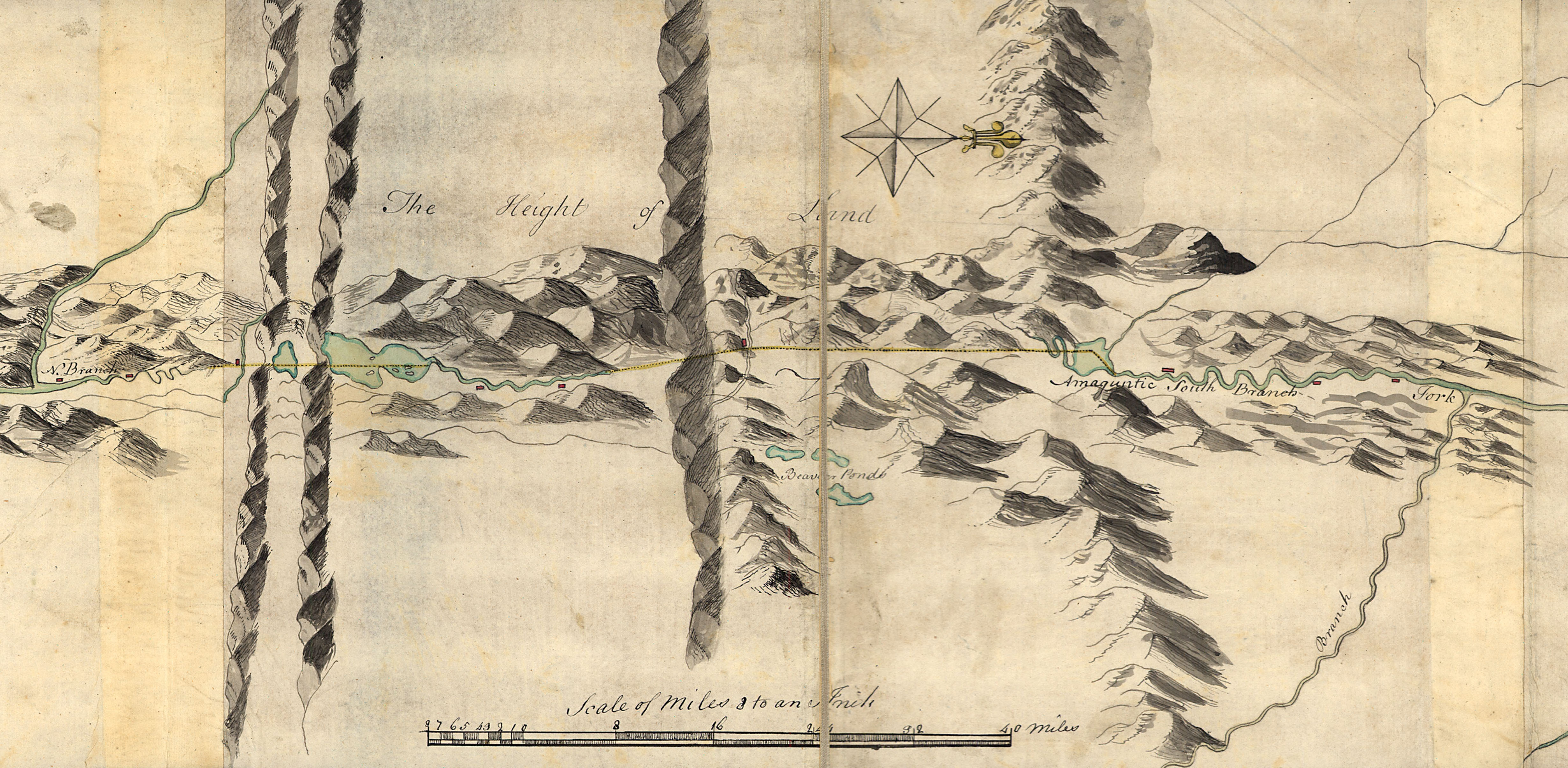
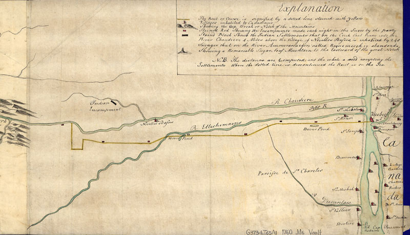
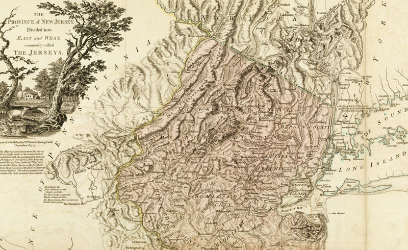
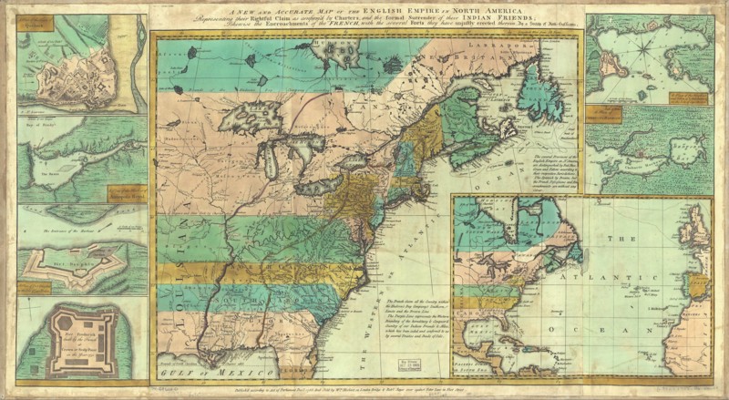
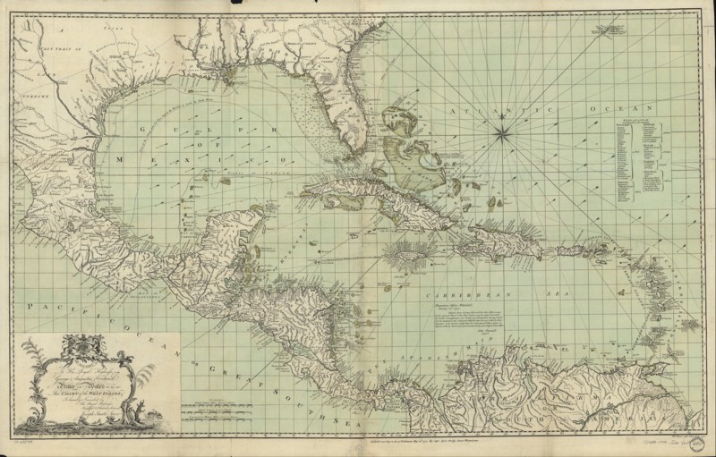
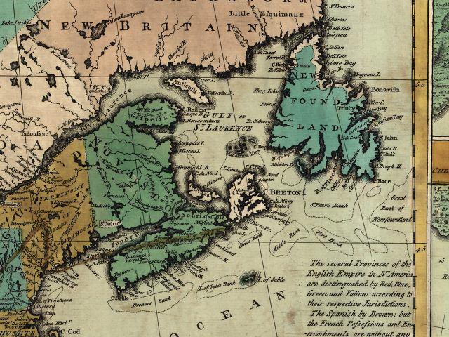
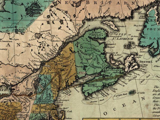
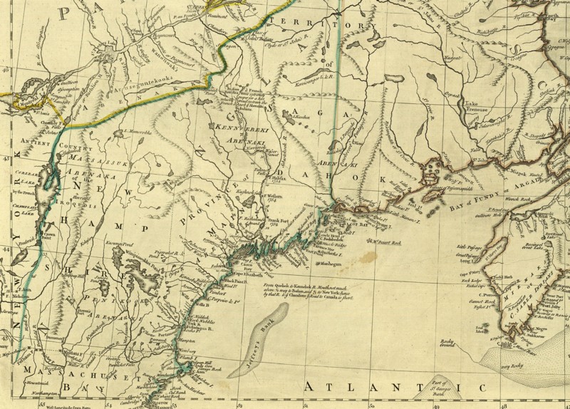
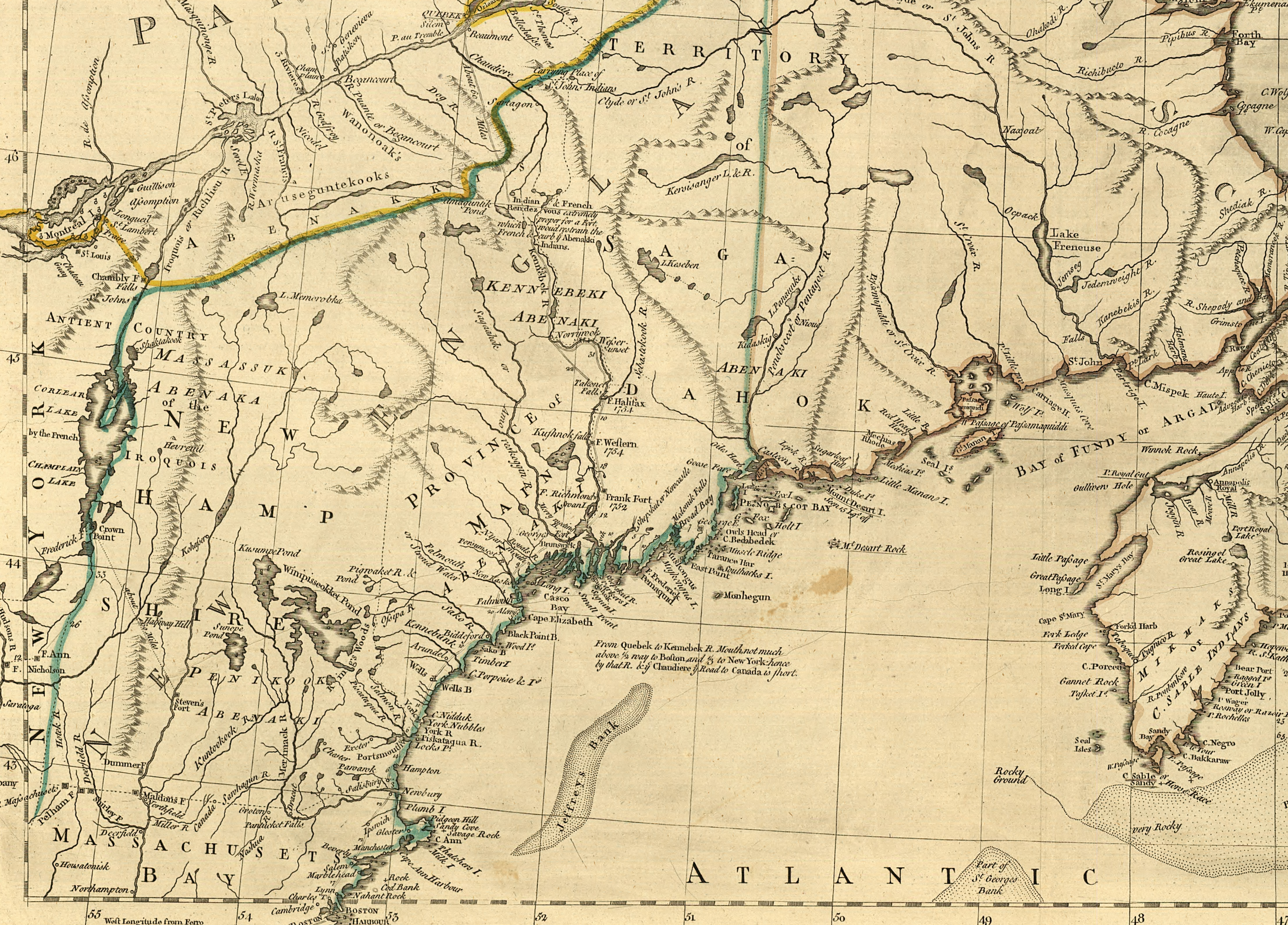
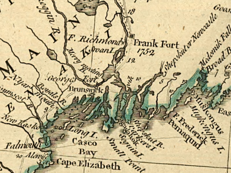
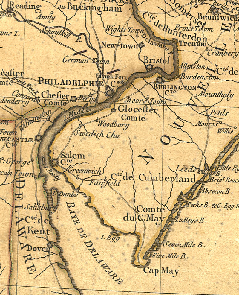
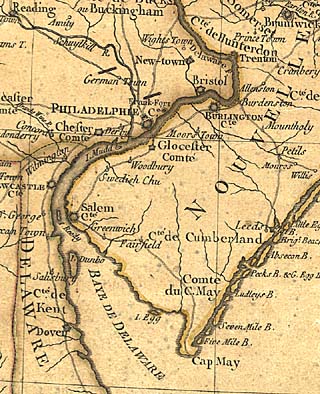
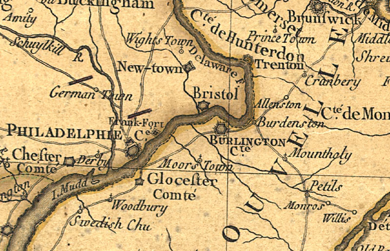
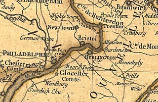
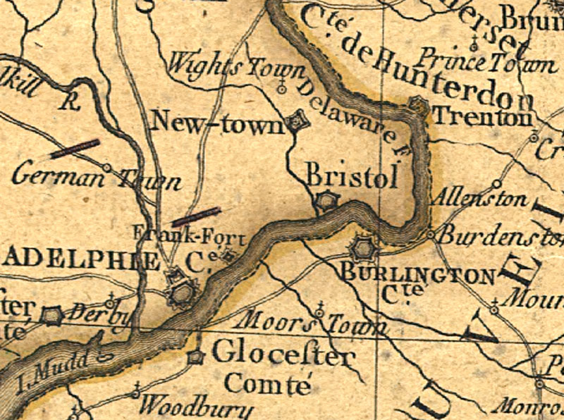
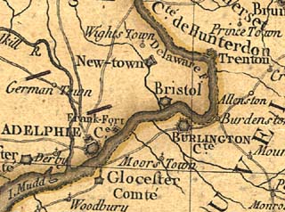
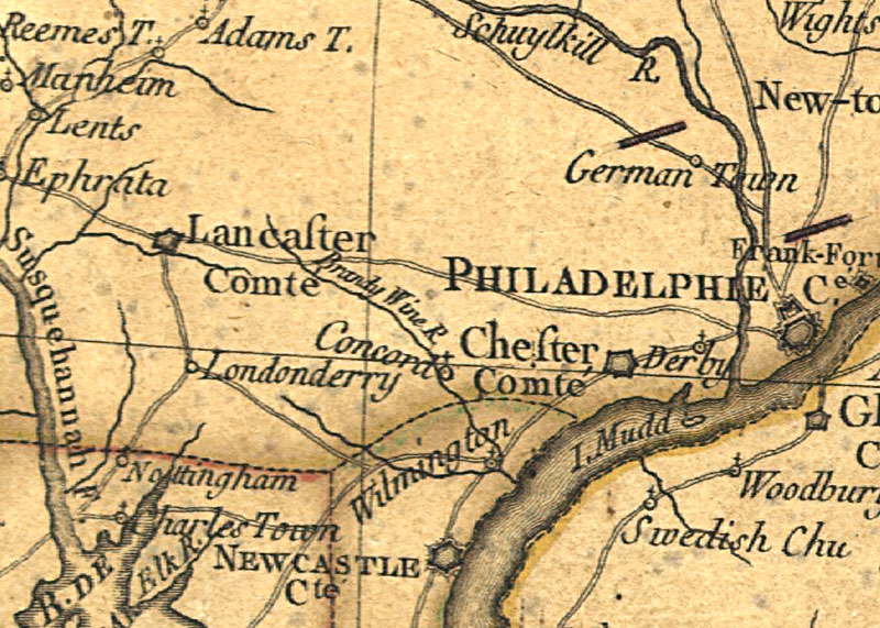
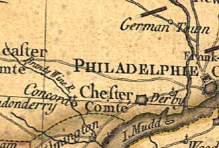
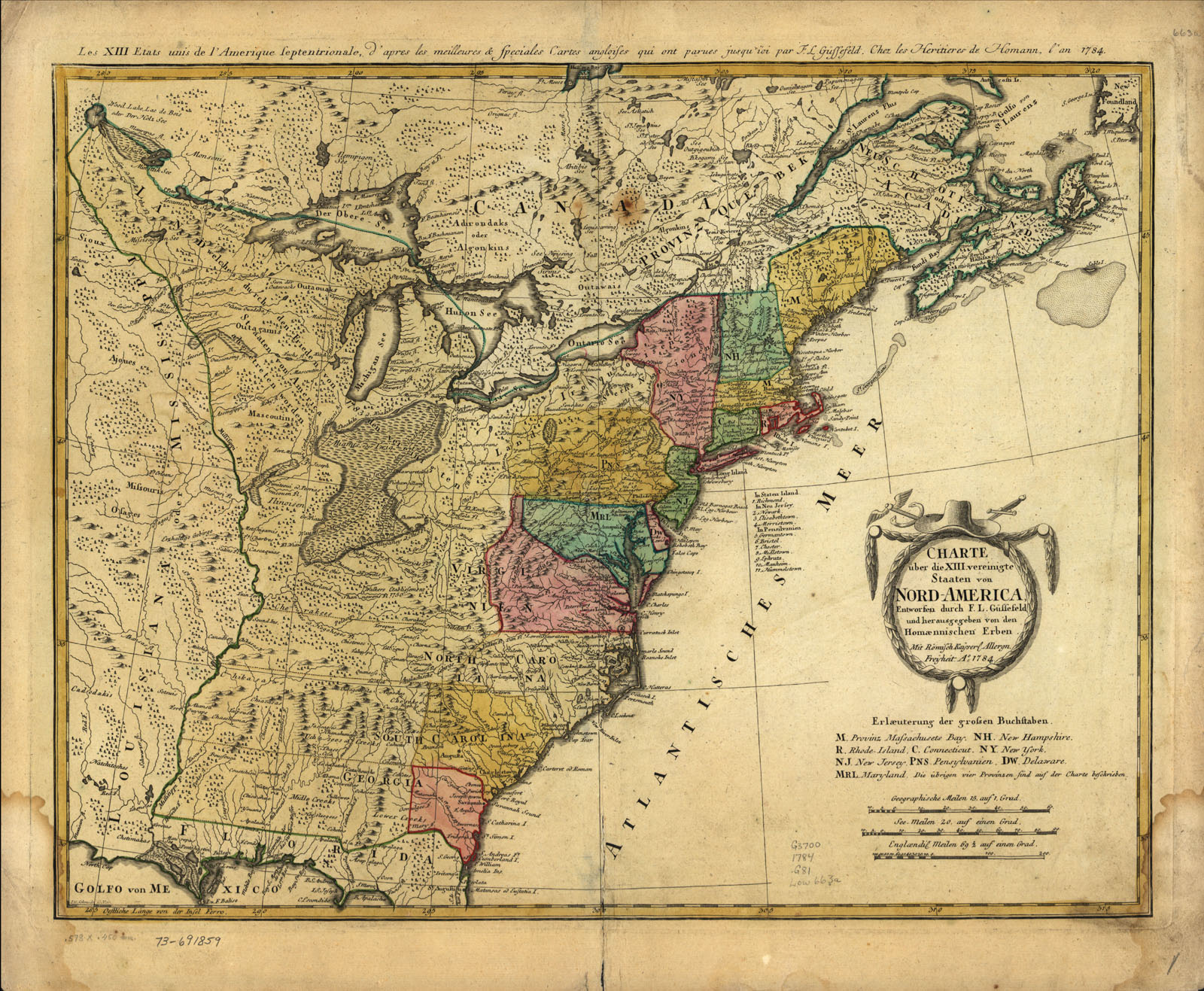
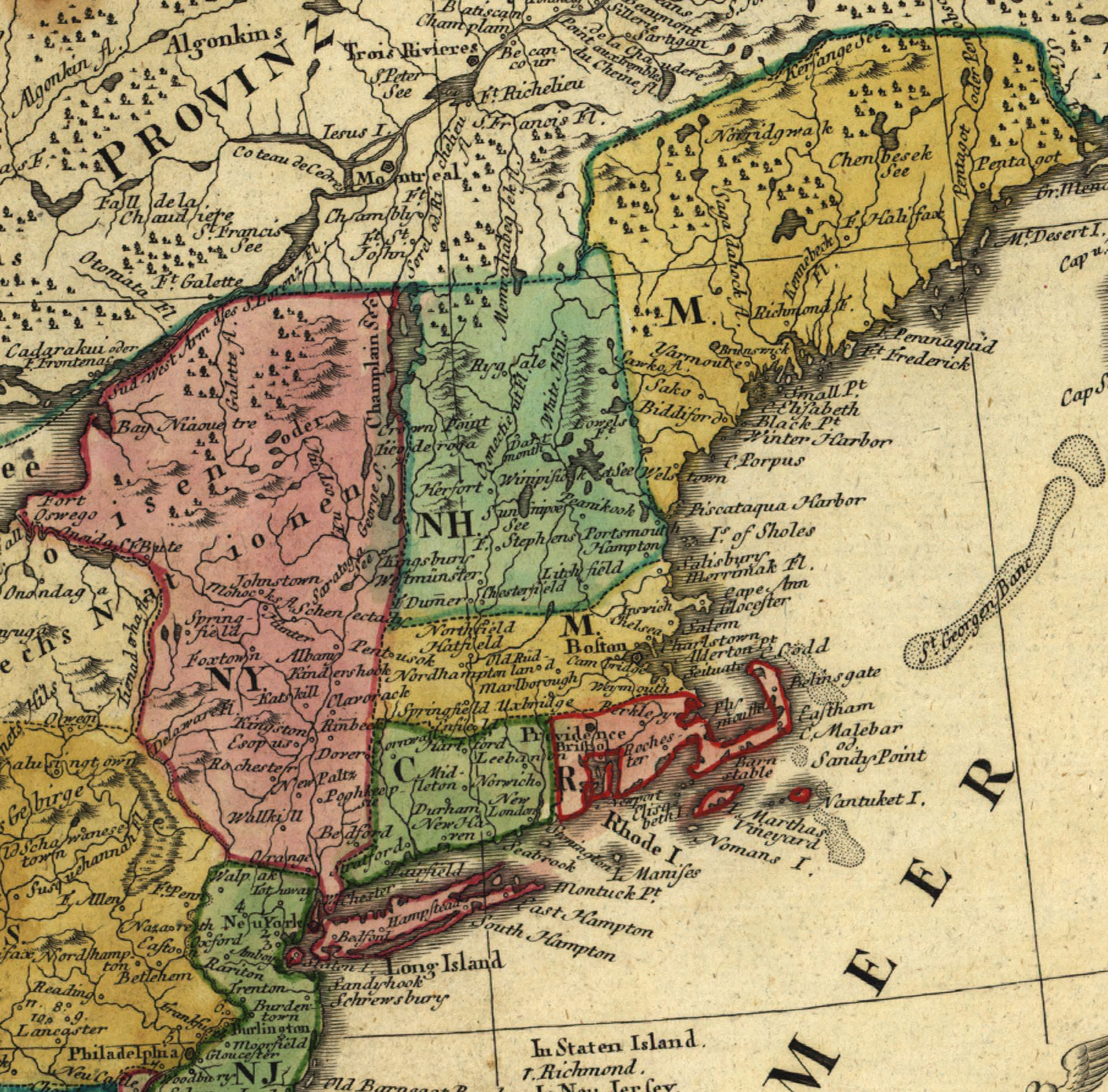
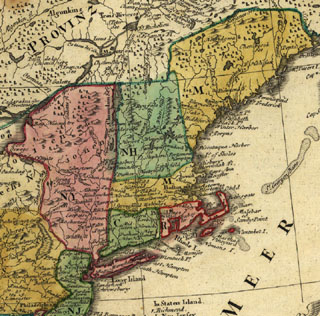
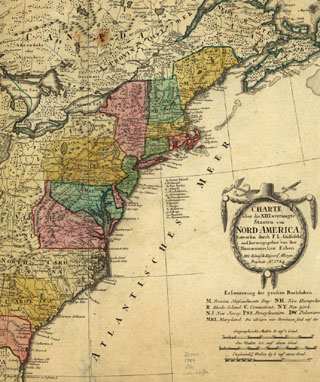
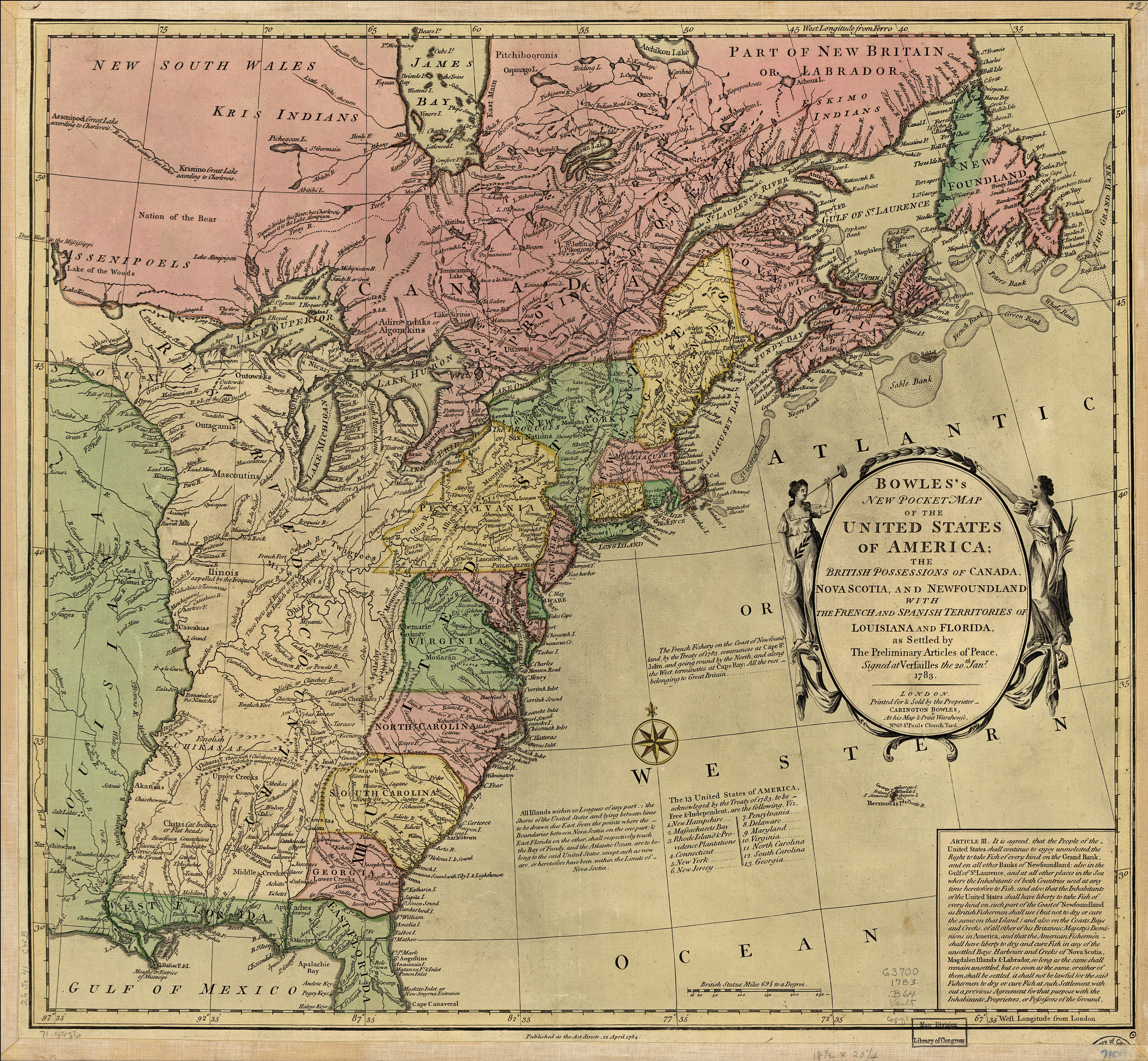
Caribbean Area 1774. "To His Royal Highness. George Augustus Frederick. Prince of Wales &c. &c. &c. This chart of the West Indies, is humbly inscribed by His Royal Highness faithful & obedient servant Joseph Smith Speer. Thos. Bowen, sculpt." at Westminster, 1774. Hand colored. Relief shown pictorially. Depths shown by soundings. Shows southern United States, Mexico, Central America, West Indies, Bermudas, and northern South America. Includes acknowledgment dated Jan. 25, 1774 at Plantation Office, Whitehall by John Pownall, secry. DIGITAL ID: g4390 ar169900 URL: http://hdl.loc.gov/loc.gmd/g4390.ar169900 SOURCE: Library of Congress Geography and Map Division Washington, D.C
1774 Caribbean and bg


"A new map of Nova Scotia, and Cape Breton Island with the adjacent parts of New England and Canada, composed from a great number of actual surveys; and other materials regulated by many new astronomical observations of the longitude as well as latitude; by Thomas Jefferys, geographer to the King." Printed & sold by R. Sayer & J. Bennett, London, 1775. Hand colored. Relief shown pictorially. Shows Maritime Provinces, New England, and St. Lawrence Valley region to Montreal. From the author's The American atlas. 1775. DIGITAL ID: g3420 np000010 URL: http://hdl.loc.gov/loc.gmd/g3420.np000010 SOURCE: Library of Congress Geography and Map Division Washington, D.C
1775 Maine and bg - b and bg - c


New Jersey area 1777 SOURCE: Library of Congress Geography and Map Division Washington, D.C
1777 New Jersey area and ah - b and bh - c and ch - d and dh - e and eh


Charte über de XIII Vereinigte Staaten von Nord-America, entworfen durch F. L. Güssefeld und hrsg. von den Homĉnnischen Erben. Published 1784. Title in margin: Les XIII Etats Unis de l'Amerique septentrionale, d'apress les meilleures & speciales carte angloises qui ont parues jusqu'ci. Hand colored. Relief shown pictorially. From publisher's Atlas geographicvs. 1759 [i.e. 1784] v.3, no. 65. DIGITAL ID: g3700 ar075703 URL: http://hdl.loc.gov/loc.gmd/g3700.ar075703 SOURCE: Library of Congress Geography and Map Division Washington, D.C
1784 map by Gussefeld and bg - a and abg and ah and h


Bowles's new pocket map of the United States of America; the British possessions of Canada, Nova Scotia, and Newfoundland, with the French and Spanish territories of Louisiana and Florida, as settled by the preliminary articles of peace signed at Versailles the 20th. Jany. 1783. By Carington Bowles (1724-1793), published London, 1784. Hand colored. Relief shown pictorially. Includes historic notes, listing of "The 13 United States of America," and inset "Article III." DIGITAL ID: g3700 ar074500 URL: http://hdl.loc.gov/loc.gmd/g3700.ar074500 SOURCE: Library of Congress Geography and Map Division Washington, D.C
1784 Treaty and bg - b and bg


North America 1784 by Franz Ludwig Gussefeld; "Charte über de XIII Vereinigte Staaten von Nord-America, entworfen durch F. L. Güssefeld und hrsg. von den Homĉnnischen Erben. " Title in margin: Les XIII Etats Unis de l'Amerique septentrionale, d'apress les meilleures & speciales carte angloises qui ont parues jusqu'ci. " Hand colored. Relief shown pictorially. From publisher's Atlas geographicvs. 1759 [i.e. 1784] v.3, no. 65.
DIGITAL ID: g3700 ar075703
URL: http://hdl.loc.gov/loc.gmd/g3700.ar075703
SOURCE: Library of Congress Geography and Map Division Washington, D.C.
1784n North America and bg - cu1 and bg


North America 1784 Treaty Map. SOURCE: Library of Congress Geography and Map Division Washington, D.C.
1784 North America Treaty 6300 - b and b 1600


Plan of the city of New York, 1789 by John McComb, Hand colored. Shows ward boundaries. Includes index to buildings.
DIGITAL ID: g3804n ar111300
URL: http://hdl.loc.gov/loc.gmd/g3804n.ar111300
SOURCE: Library of Congress Geography and Map Division Washington, D.C.
1789 New York and 3200


revised 9/5/03 by Schoenherr | Map list